
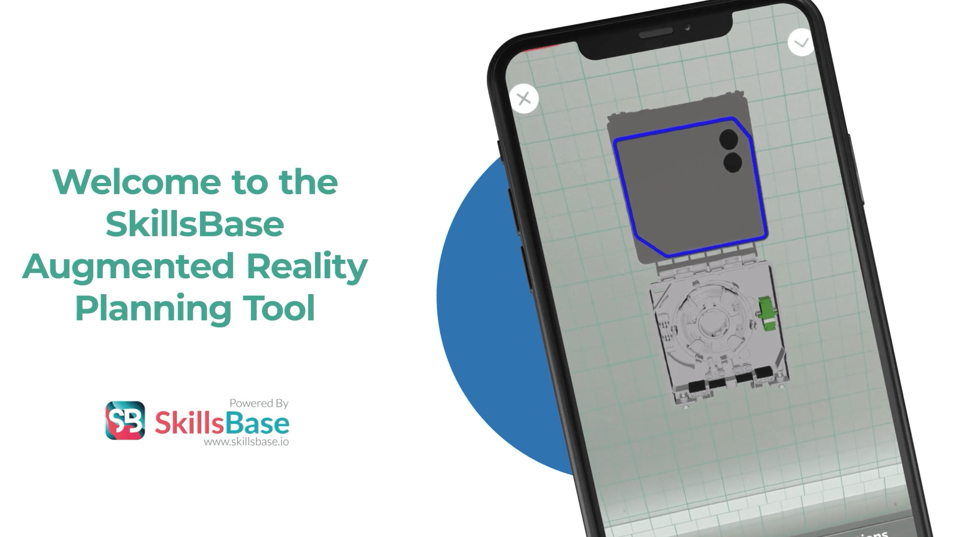
At SkillsBase, we strive to push the boundaries of technology. Our AR Planning Tool is a perfect example of this, revolutionising product planning and property surveys. This innovative tool combines Augmented Reality (AR) and LiDAR technology to make planning tasks simpler and more efficient.

The SkillsBase AR Planning Tool simplifies product planning. By employing AR, users can visualise product placements in real time. This immediate feedback facilitates quick, informed decision-making. Furthermore, it excels in surveying multi-dwelling units, thus providing accurate measurements and essential spatial data for project execution.
The AR Planning Tool creates accurate digital twins of physical spaces. This allows for detailed planning and problem-solving remotely. It also automatically generates a Bill of Materials, organising all necessary project materials efficiently, cutting down procurement times.
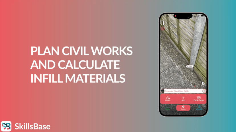
With state-of-the-art LiDAR technology, the AR Planning Tool captures precise environmental data. This boosts the accuracy of digital twins and improves planning reliability. As well as this, it uploads all data to the cloud, ensuring easy access for all project stakeholders.
The AR Planning Tool supports crowdsourced planning, enhancing project outcomes through diverse insights. Additionally, it speeds up the Scale Wayleave Approval process. By showing real-time digital twins to landlords, it secures approvals faster, as stakeholders can directly see the benefits.

In conclusion, the SkillsBase AR Planning Tool is more than a digital tool; it’s a robust solution that enhances precision in planning, accelerates approvals, and fosters better project collaboration. Evidently, it’s a prime example of how SkillsBase leverages technology for efficiency and better results.